I am learning how to create our deliverable from the Rock Cloud using the token based processing. The software is easy upfront, but holds many other secrets that may need some trickery to work!
Question:
What exactly does the ROCK Surveyor “ground classify” when I ask it to generate contours for a given area (#1270)?
- It did not classify my low vegetation, or med or high vegetation
- It did not classify any buildings
- Yes, I have ground shots… but in the demo I got, I saw Rock Robotic click the veg on/off, houses on/off and the contours. Did I use the right tool than? Or did I mess something up? I only get ground and everything else.
Question 2: I used the area selection tool to focus only on the area I wanted. It even asked me to make this a processable area! Excellent… so why am I unable to choose only the small area to process… it always wants the whole model or nothing. I feel like I missed a step here, and my understanding is that RR Cloud should have given me the option when I ordered processing.
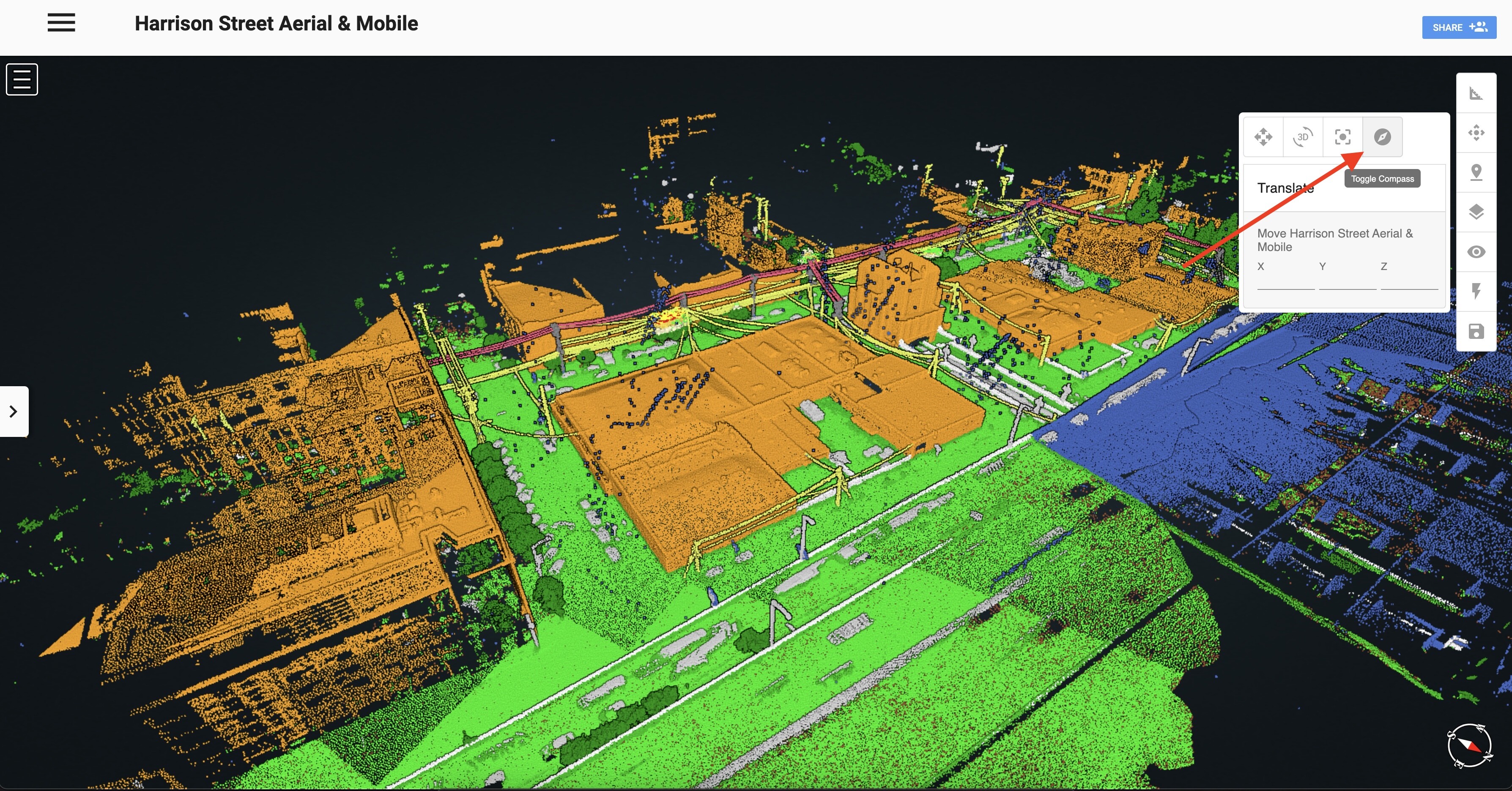
Question 3: Where is the north arrow? I get so lost when I am cruising around my model.
Question 3a: What about a view reset? I sometimes overzoom or get “lost”, this would be cool. Currently, I just refresh my browser.
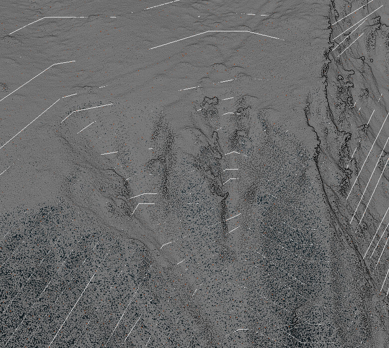
Question 4: We noticed that some of the contour lines cross over each other. Odd. There is also some detail of a failure that the contours did not classify very well. This maybe a function of the contour interval selected. Too bad we are unable to choose ANY contour interval.

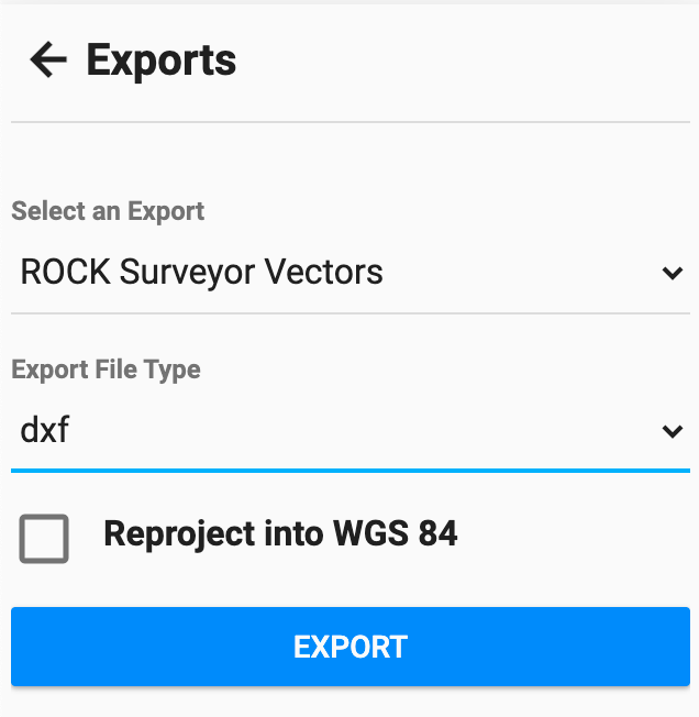
Question 5: How do we load this into Civil 3D? It does not like data and stripping the awesome rich lidar data down to 150 points is, well, stupid and useless. Will a .dxf or .dwg file extension ever be available? Or did I miss this information somewhere in all the other information?
Thank you Rock for your time and knowledge in educating us.