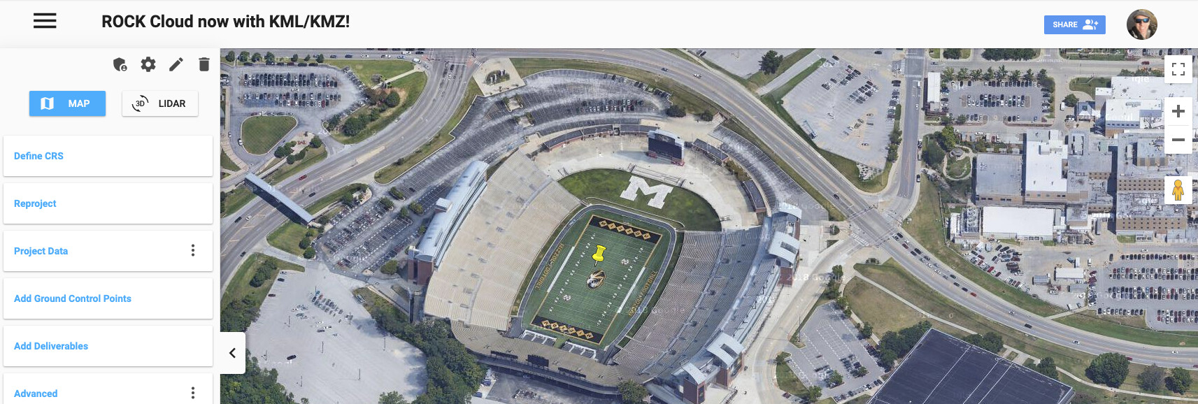
Is anyone interested in uploading your KML / KMZ to customize your map view?
Simply upload to your Project Data and start sharing your customized map view today!
See it in action: Football Stadium - Indiana Drones | Rock Robotic Cloud
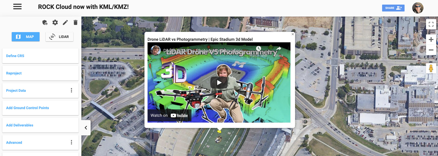
Is anyone interested in uploading your KML / KMZ to customize your map view?
Simply upload to your Project Data and start sharing your customized map view today!
See it in action: Football Stadium - Indiana Drones | Rock Robotic Cloud
What are some of the features that this makes possible in the Rock Cloud?
Glad you asked @RR_Flight_Ops!
Here are a few:
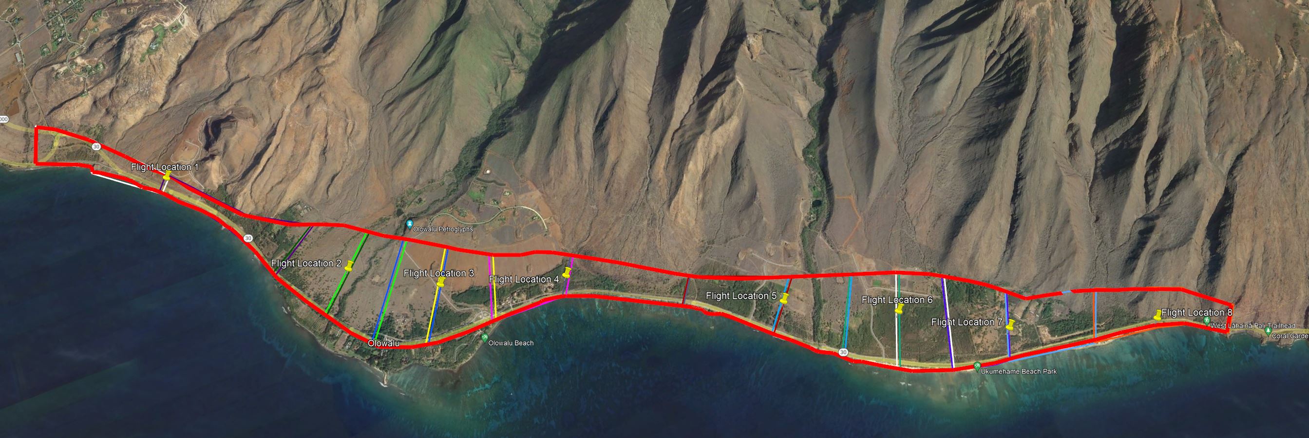
With the 1000+ acre project we are starting at the end of the month, it would be handy to overlay the KML on top of the LAZ file to trim it prior to processing. Is that possible? I do not have a smooth defined boundary area. See attached.
Thanks, Mike! We are putting in that request with the dev team.