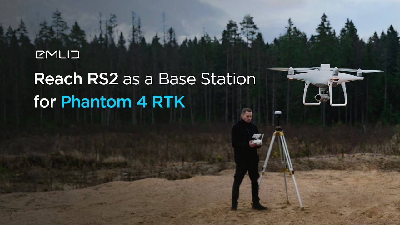
Anyone here using the EMLID not only to log RINEX for your ROCK LiDAR but also do RTK at the same time?
Yes, the Emlid RS2 can be used as a base station for drone surveys, and it has the capability to log RINEX and be used as the base for RTK simultaneously.
To configure the Emlid RS2, you can utilize Emlid’s caster. The setup process is similar to that of a Phantom 4 Pro (P4P), making it straightforward and accessible for users familiar with standard drone equipment.
Here’s some answers from a Facebook thread I made: Commercial Drone Mapping and Surveying | Anyone in here using the EMLID as the RTK base for the M300/M350
Question: Anyone in here using the EMLID as the RTK base for the M300/M350?
The configuration is done through Emlid’s caster, there are some videos from the same company that show how to do it, it is the same as the configuration of a P4P
www.youtube.com%2Fwatch%3Fv%3D3eMHjsh0kG0
Yes, works well.
Yep all the time
Hey Daniel, Yes I’ve been using the RS2+ as my base on a known point sending correction to the caster service for a while now. Connect my rover, RS2 to it shoot my GCP’s and grid then fly the site. My M300 is also pointed at caster for correction. Works well most of the time, the cellular capabilities on the RS2+ kinda suck, usually have to use a hotspot.
Not having any luck with the built in LTE modem of the RS3 and don’t care to carry around a hot spot or use my phone as one, I do utilize the Local NTRIP for RTK and simultaneous logging Rinex for PPK from the same Emlid RS3, then switch the base to LoRa before or after the mission to utilize the RS3 rover for CGP capture. I have been enjoying the Emlid products and services a lot. I would enjoy it more if they would get their RS3 to work on AT&T data only SIM.
