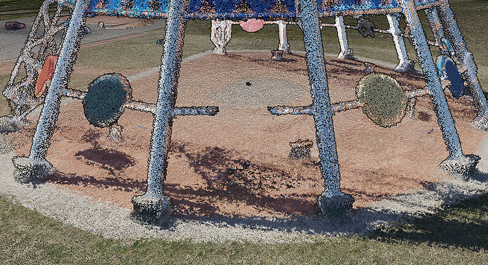
The plan is to use the Voxelization workflow I wrote in C for the liftoff simulator and use point cloud data instead of .stls and objs! I was sent here by Matt Dvorak he said there are probably people with good sample data to play with!
What I’d be looking for preferably would be a building with generally flat and clean walls without vegetation inside and out! I don’t know if that exists but it would be perfect! and or anything just straight cool to fly around!
The long-term goal is to have a small cheap lidar unit attached to an FPV drone and post-process it for flight training!
If anyone has a good sample It would be a huge help! A lot of the ones I was finding on google look very lowdef!
