Calling all rock stars!!! If you have a Rock Cloud project where you can upload R2A data and terrestrial scanning data, we’d love to see it! If you can’t share it here just email it to me at daniel.windham@rockrobotic.com. We want to make it as easy as possible to merge various lidar types together. The easy button for LiDAR- Rock Cloud!
Like this?
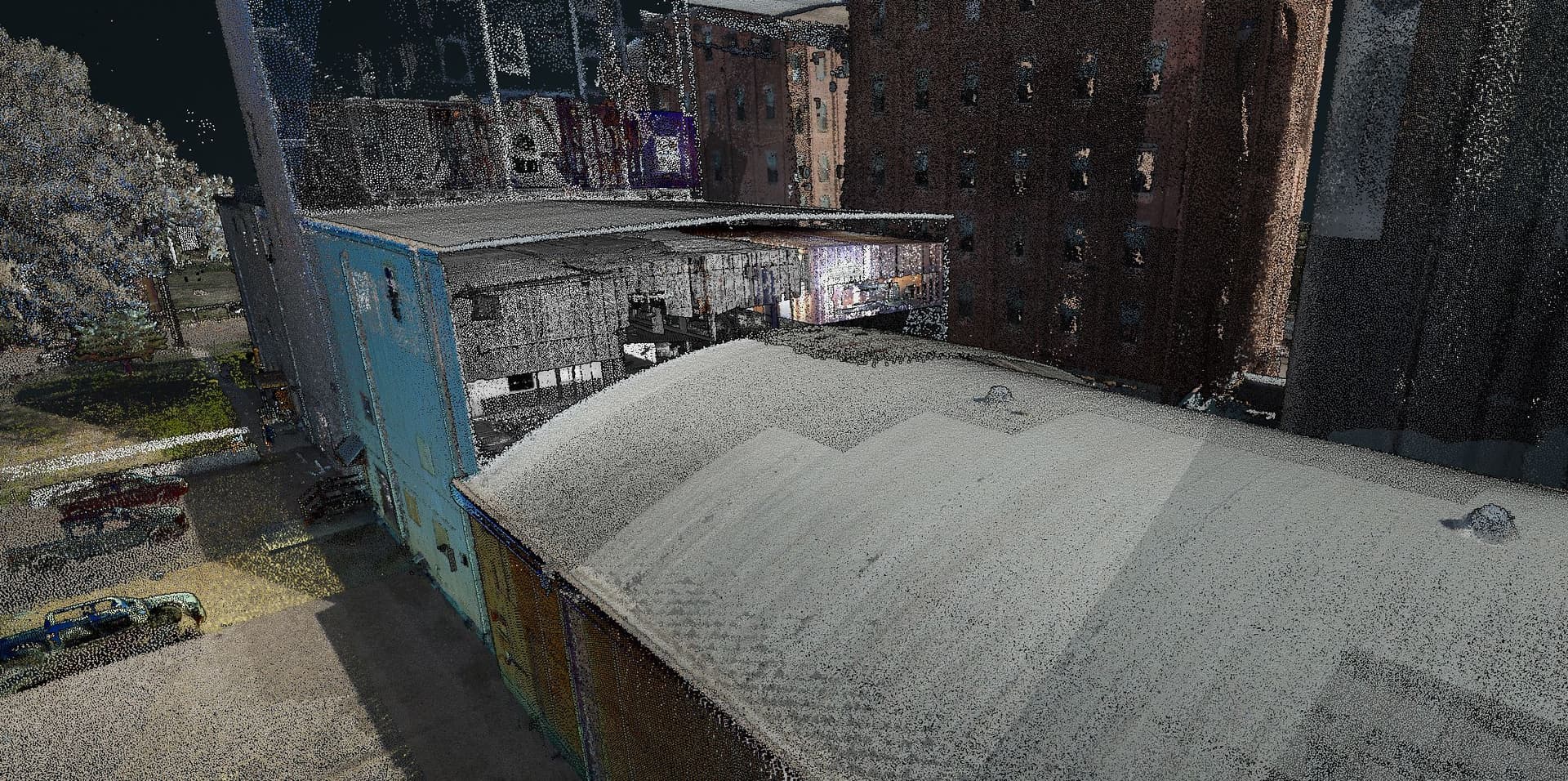
It was a challenge to merge, having to move from nil coordinates to where the structure is.
The alignment wasn’t perfect because the R2A lost GPS a bit during the terrestrial portion.
What scanner did you use or was this all r2a?
This is cool! How did you use the R2A? I saw one point cloud was named “bike”???
We created a facade mount before yours was available. It works on the m300 facing forward but is easily attached to anything else. A bike works great because the calibration pattern is easy to do!
1 Like
We used a Trimble Rx7.
1 Like
I have some geoSLAM horizon data and an r2a flight. Can we try that out?
We sure can! If you upload it just send me the project number of each one, stick them both in a folder and we can do a compare/merge!
Cool I can do that. Does the terrestrial need to be georeferenced or can it be local and still merged with georeferenced r2a? Just curious…
Either way should work, we have a new projection for Slam Meters and Slam Feet that should help. I can give it a try.