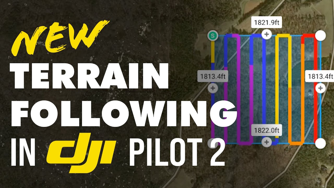
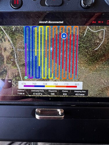
GUYS! Check this out!!! This is HUGE. You can download terrain following data on the m300 controller from the internet now. No need to make the file in GIS or even…dare I say…use UGCS?
3 Likes
This is actually bigger than huge for me.
1 Like
Hi,
That’s great! i did it using “custom” DEM but take time and sometimes is frustating to do it!
1 Like
Got a report from a new user they used this feature several times with 100’ of elevation change and it worked perfectly!
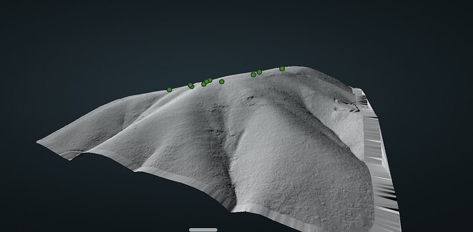
Had a good experience flying at 70m, 50% sidelap, 8 m/s, using dji pilot 2 and its terrain following feature. Total elevation gain/loss was 400+ ft. Gave me confidence for the more technical flights in the future in the technical terrain I work in.
3 Likes
Did you use RTK connection during terrain follow or just GPS navigation?
I was using an RTK connection.


