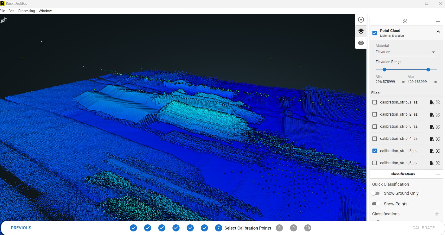
We have been trying to use Rock desktop with little success. We flew a Test site yesterday for a new dataset to work with. The point cloud is coming out strange, Wavy and buildings looking Really long and funny.
I tired to get to the Lidar Strip alignment in Rock Desktop and wasn’t able to find consistent data
R360 with latest Firmware on a WISPR Ranger Pro. We also have the latest version of Rock Desktop
I too have had these strange returns. Speaking with Rock Support, I understand that there are a few orientation/alignment issues they are still working out.
I believe there is another update/fix coming this week!
The second set of data I tried to process gave me very strange point clouds as well. I’ve now flown the project 3 times thinking it was something I did, I’ve processed it three times on my end, but this isnt working…
Thanks for looking into this.
I’m just worried I’ll lose a good client if I can’t get this figured out.
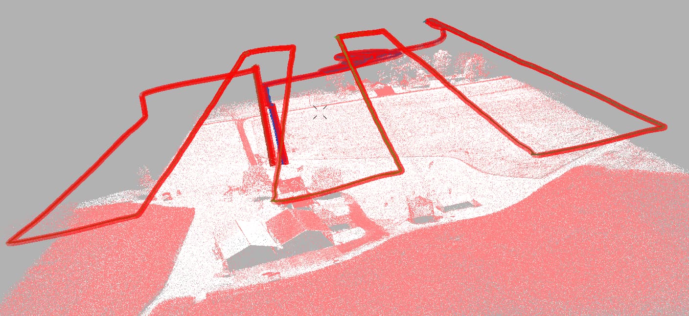
I re-flew 23-777 sls yesterday afternoon.
I flew it this time in 3 separate zones, 23-777A, B, and C.
A and B are uploaded now, C is being uploaded as we speak.
I rather process them together.
The precise base point I used is: 34.89464390 -94.61505614
I’ll be on the road today, but will try to check in… Thanks!