I’ve gotten the M3E to connect to the RockBases around me. Seems like it might be able to work for this application… fingers crossed.
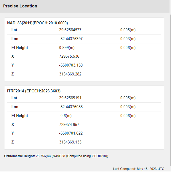
In testing this out, I would like to see what kind of corrections I am getting from the base to my rover (drone). I only ask, because it took me a long time to realize that my SmartNet corrections were coming in as a NAD83 Geodetic correction. and then the drone was tagging the images in LLH. So I was having to tell Pix that my images are in a NAD83 geodetic coordinate with an ellip offset to geoid.
Anyone have a better understanding of whether or not the corrections from the Rock NTRIP are coming in pure WGS84 or are the projected to a UTM or something?
