I want to get some advice on what the best contour interval would be for archaeological purposes?
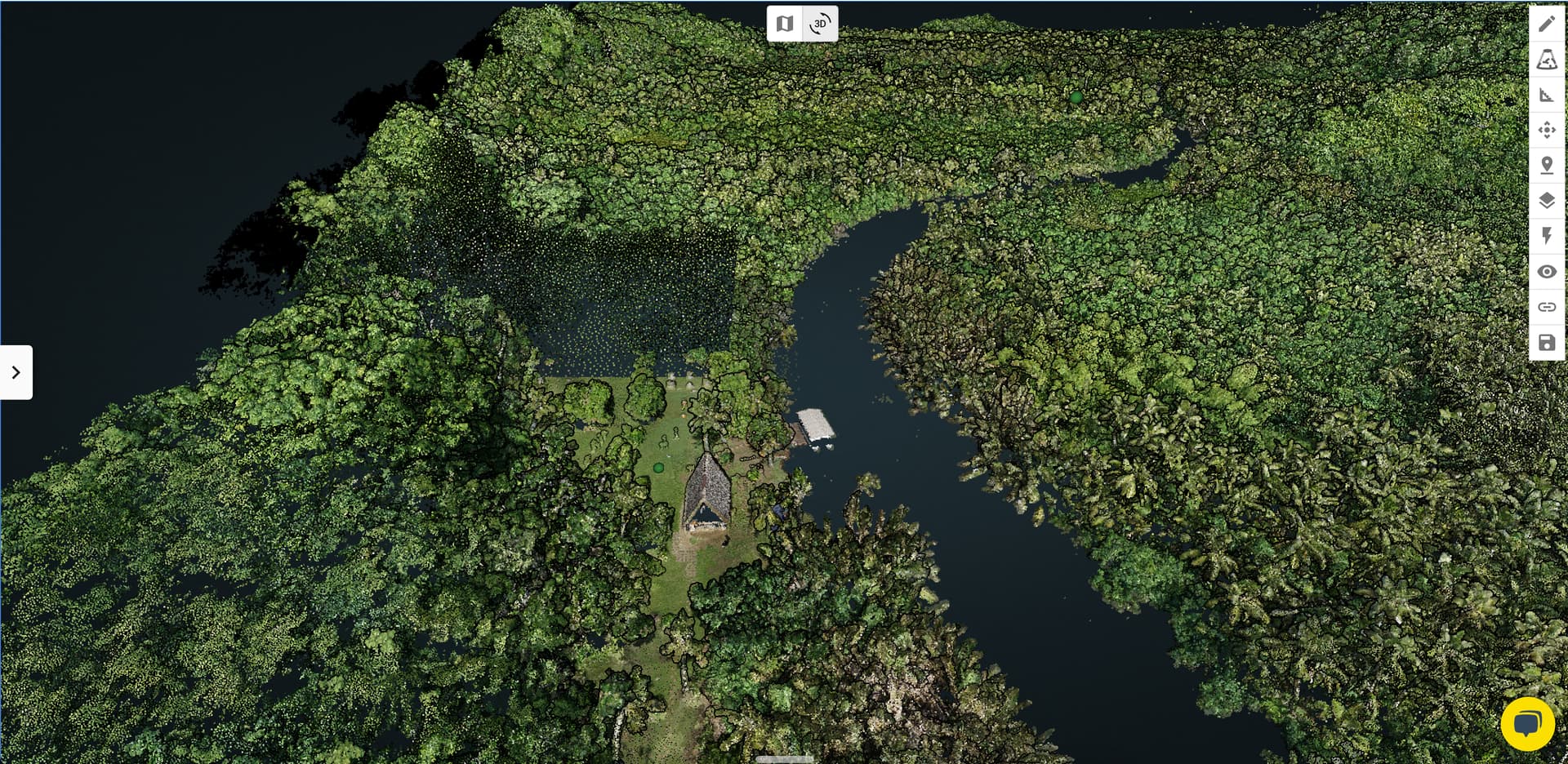
We just completed a 300-acre scan of a cultural site in Guam where there are thousand+ year old Latte Stones. Only 5 or so acres have been cleared where the Latte stones are and the rest is vegetation. Based on what the site owner was telling us, this site used to be a village that dates back at least 1,700 years ago, and he is very curious to see if we can see any signs of past civilizations using LiDAR data.
I’m looking to order the Rock Surveyor, but I’m wondering what the best contour interval would be for this purpose? Thanks!
Wow, what an awesome use case for LiDAR! I would love to hear about your findings. As for the contour interval, the smaller the interval the more information you will be able to derive from the contours and elevation change. The dem (digital elevation model) that is a part of the ROCK Surveyor deliverables should also be very helpful in finding features beneath the vegetation. The smallest interval of contours is .5ft or .1 meters, but ROCK will work with you if you need custom contour intervals. Good luck!
I would say that 1/2 ft contours (or 10cm) would be perfect for this, but even 1’ contours might get you what you need. 10cm would surely show any imperfections or signs of civilization.