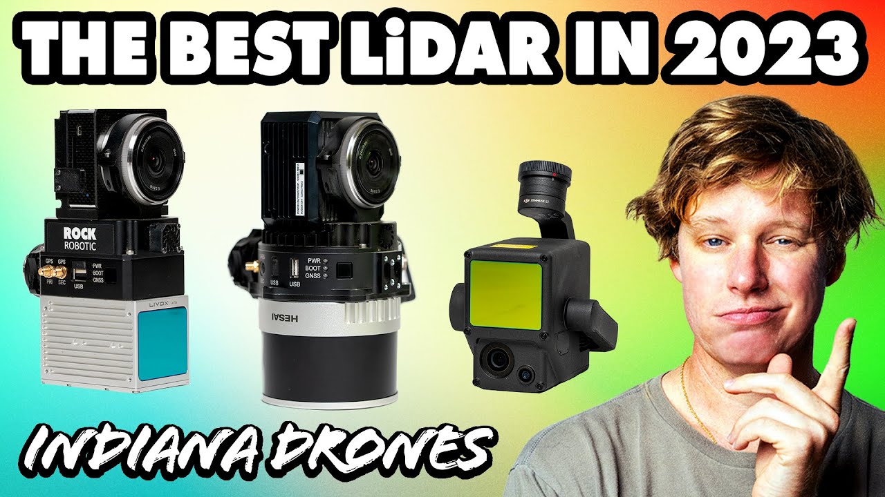
Hey everyone,
I am ordering a r360 and would love to hear anyone’s thoughts on their experience with it! After searching the discussion groups, I am not seeing anything except for the release of the r360. If you previously had the r2a, please feel free to compare, give honest reviews on the pros / cons of the data. I plan on doing forestry mgmt, dense vegetation, SLAM, street tree documentation, building footprints, land development, and coastal erosion research. Looking forward to hearing what you all think!
I know you’ve probably seen this but it really is a good comparison between the two. Hopefully some users chime in too! We love seeing all the R360 and R2A datasets!
Thanks, Daniel. Yes, I’ve seen it and the results look great. Hoping to hear some user feedback in the group, if not, I will chime in once I receive mine!
Hello there Rogue, I have been using the R 360 for a few months now, and am thoroughly impressed. I mostly use it from the drone, but I have also used it on a handful of projects mounted to the truck. The data from the 360 is super crispy, especially when truck mounted:
https://cloud.rockrobotic.com/share/6f001c26-1f36-46fe-9ca3-42793b97755f?view=lidar&position=588879.149354827%2C1422281.3378699026%2C97.39464561360384&target=588882.5987627407%2C1422293.1912531496%2C95.14580298410043
The only downsides are 1. it diminishes flight time by a few minutes, because it heavier than the R2A, and 2. the point density is slightly less, which only means I fly slightly slower over dense vegetation in order to get better penetration. I have both units, but the R 360 is now my go-to.
Thanks for the info, Davy. So far, I have been very happy with the data and have flown relatively small areas. The detail has been great, and the flight time is honestly better than I thought it would be. I have not flown very dense veg yet, which will actually be quite a bit of my jobs in the future, so I hope I get the ground points I need (I’m confident I will). If not, like you said, fly a little slower. The link you provided won’t open for some reason, I made sure I’m logged in to the cloud.
Hey Davy, Curious of the ideal setting you use for the R360: overlap, front-lap, speed, and altitude.
“The frontlap in the software doesn’t matter if you manually set the speed, the manual speed setting is overriding the frontlap. The camera in the unit takes photos on a set interval regardless of what the flight planning software is set to.” This is Daniel’s response to my colorization post from the other day. The whole of his response doesn’t apply here, but I believe the above information should.
Additionally, we have flown several jobs over the 2 months we’ve owned the unit, and the params we’ve been using go as such: 164ft AGL (50m), 14 mph, 50% sidelap, 10% forwardlap, 100 ft margin to ensure we capture the entire AO. We have also been using the new DJI “terrain follow” feature and it works great!
1 Like
Great news! If you need tighter detail on curbs, power lines, etc you can slow it down to 10-12 and go parallel to that feature!
1 Like
Appreciate the info, Ganon! Have you changed any of the sensitivity settings to capture dark surfaces a little better?
We have not as we have only had the R360 for about a month and a half. We have also not found the need to, as of yet. Our last job had some major relief in terrain, which left some points “uncolorized”. We determined that either slowing down or increasing our overlap should be the solution, if these conditions come up again.
