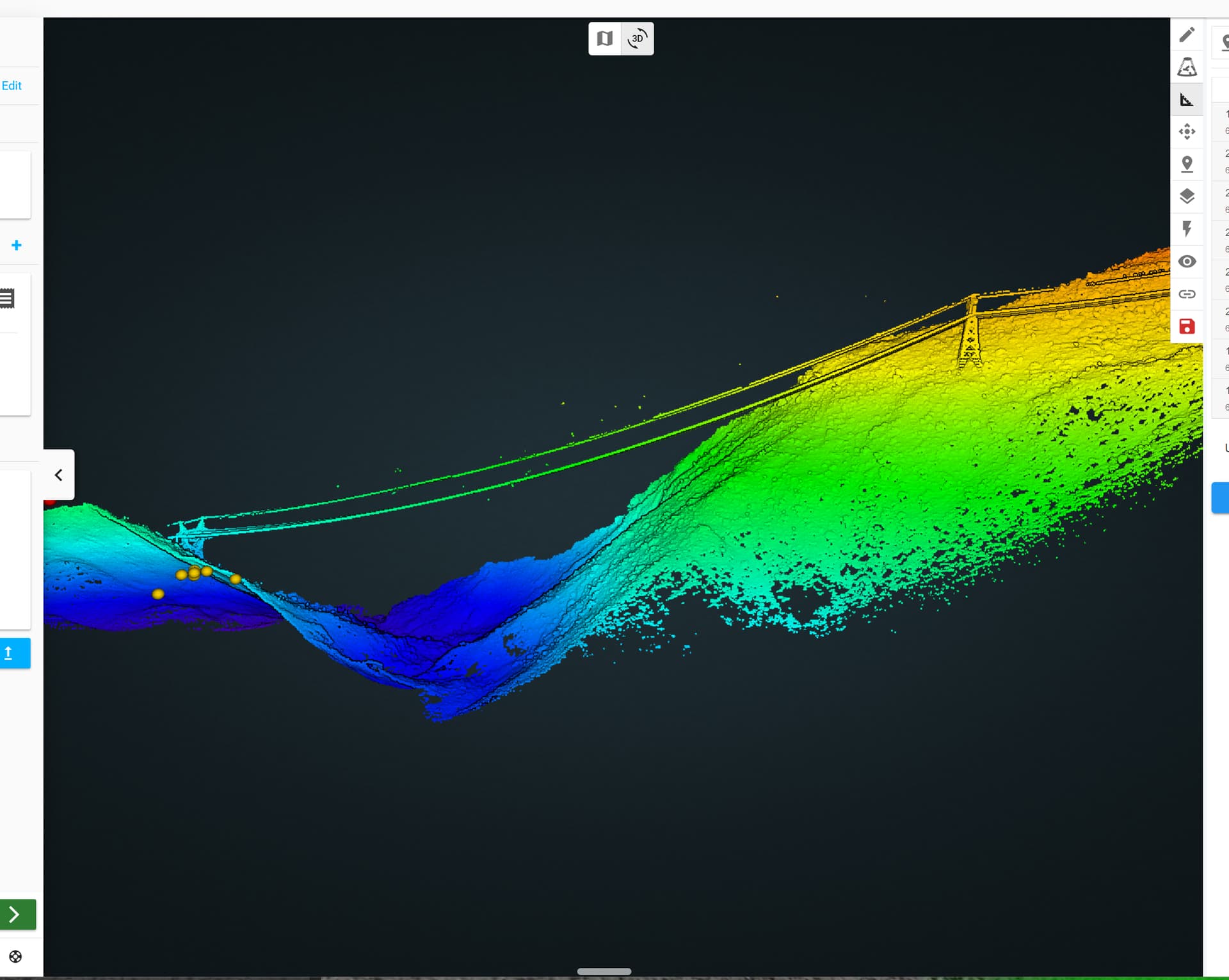
We are capturing transmission lines in mountainous conditions. The towers are about 120 feet high, but the conductors span a 500’ valley. we start out at 140 feet above the first tower, but then UGCS drops about 500’, following the contours of the land, but the Transmisson conductors only drop about 200’.
I created a DEM from the initial scan, and imported it into UGCS, but it seems to be a DTM, not a DSM, so it does not include the transmisson lines. Id like the drone to follow the elevation of the conductors, not the land.
@BEADLiDAR In my experience there really isn’t an easy solution to this problem with UgCS or most other mission planning software out there. How I’ve done valley crossings in the past and would probably recommend how you should do it, is to break it up into sections. Probably three or four sections that have terrain follow but that are increasingly higher above the ground to maintain the altitude above the powerlines. You can create those individual corridors and then connect them so the drone will go back and forth how every many times you need it to in small sections multiple times over that valley. Hope this helps and good luck!
Its about 1/2 mile away from the landing and launching zone. Lower tower isnt even visible from the ground control station. But yes, FPV and stick flying is probably our best bet
Thank you sir… that is what I will do next time… I just though this would be a great chance to utilize the DSM import feature, and follow the lines Thank you for your help!
Hi @BEADLiDAR, i´m thinking if every tower have the same height probably you can create a custom DSM using the elevation in one free source DSM plus the tower height that’s give to you more approach to the conductors instead of the terrain on the corridor!