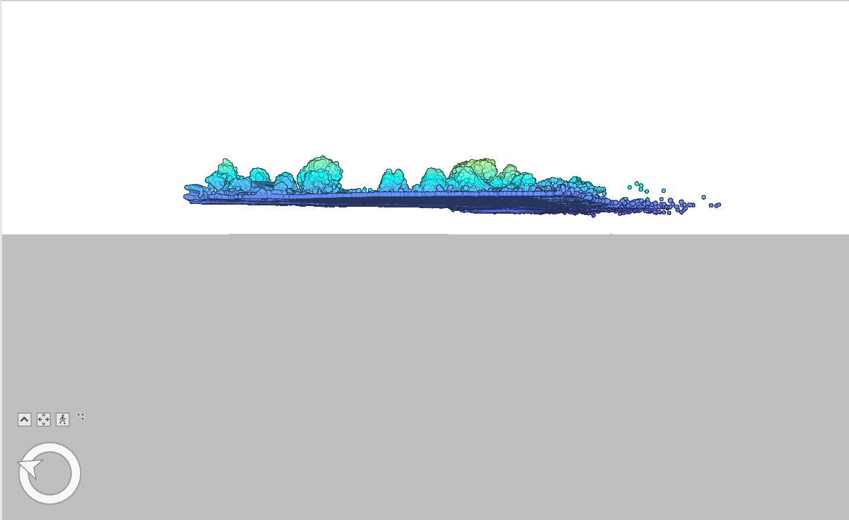
We like to bring our LAS files into arcgis pro scenes and check out the data as well as editing/digitizing. For a while I could not figure out why the data was below the 3d scene and all you could see is the tops of trees and unclassified points poking through. After some tinkering, I found out that you cannot use the ellipsoidal height when inputting the coordinates and elevation into pc master and instead need to use the RMS elevation. Curious if anyone else has dealt with this?
When you reproject and align to GCP’s in ROCK Cloud you can download the point cloud or export to laz and it will be in the correct location. ARC may just be misreading it or something, but the point cloud out of RC should be in the right coordinates.