Good morning all, I’m having an issue where my topo surface and 3D polyline is not coming into the correct location when I load them into the cloud. They were created from a TIN surface I created after geolocating my point cloud in Civil. The tin was created in the same location but when I export my shapefile it does not load into the same location? Any help would be appreciated.
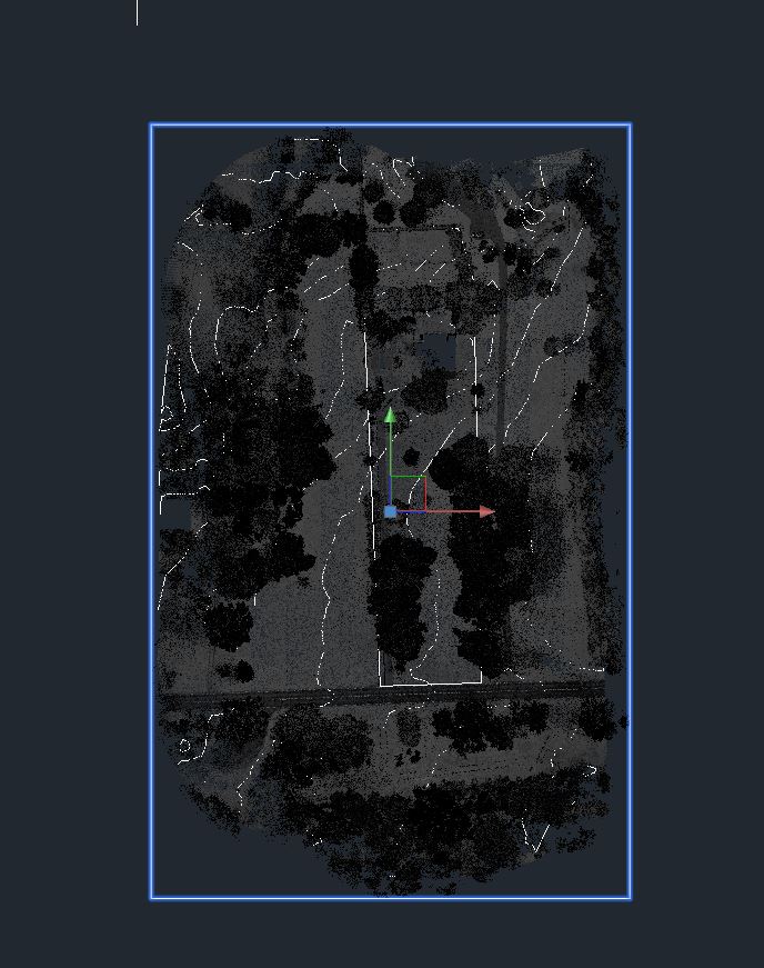
This picture shows my point cloud and features very very far from each other. I’ve tried changing the coordinate system in Civil, Rock and even an unassigned CRS. Any help would be appreciated.
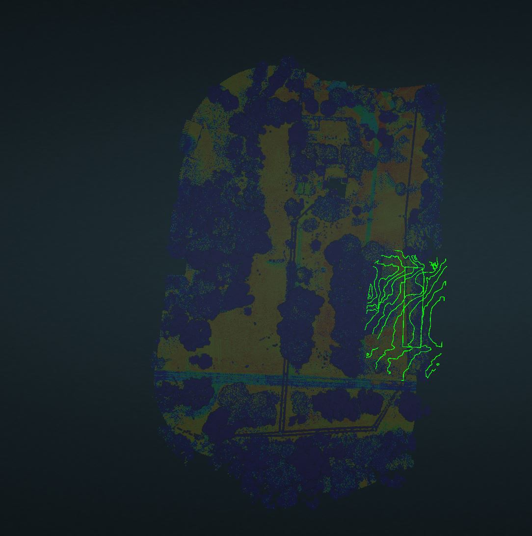
Update, I think it’s a scaling issue when i bring the Point Cloud into Rock Cloud, I manually moved it just to get it close and see what’s going on. @RockSolidSupport any suggestions?
I even left CRS blank. Data was captured in MI83-SF / NAVD88