Hello! I am new to this system.
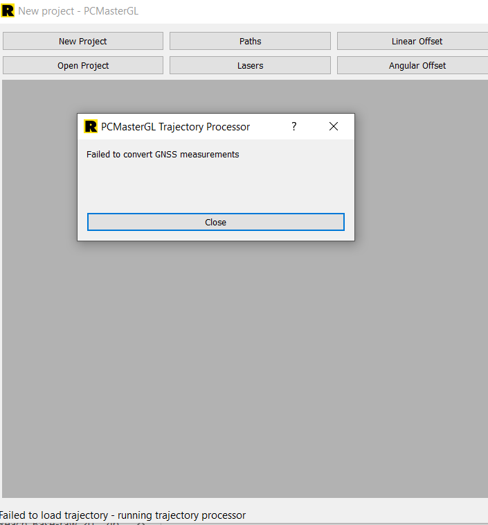
So I did a test flight recently and now I am trying to process my data but it always shows “failed to convert GNSS measurements”
my raw rinex data gives me .210, .21B and .21P data and not .nav or .obs data.
what can I do with this? Thank you.
@Athena Welcome to the community! Let’s get you scanning!
You can use the .21O .21P & .21B files just like a .obs and .nav just put them in the [data] folder of your project and then when PCMaster asks for your base station file point it to the .21O file.
That should allow you to get to the next prompt that will ask for you X,Y,Z corrections (unless you need to return to this location or require the point to be exact for a client, you don’t need to change anything here to get a usable .las) click ok and then the trajectory processor will do its magic and you should end up with a point cloud.
It was suggested to us to enable UBX collection (in addition to RINEX) in the base station. It saved us recently when the RINEX gave the same failure notice. The UBX file worked while the RINEX failed.