Using the R2A for a mobile scan yielded great results except where it produced these random gaps in the point data along the trajectory. No idea what is causing this, we had multiple base stations set in the field on this job and processed the data independently referencing each base to do a overall trajectory comparison. In this independent processed datasets the same gap exists in the same locations.
This is very interesting indeed. Can you send over the log file? Want to check if there are any gaps in the log
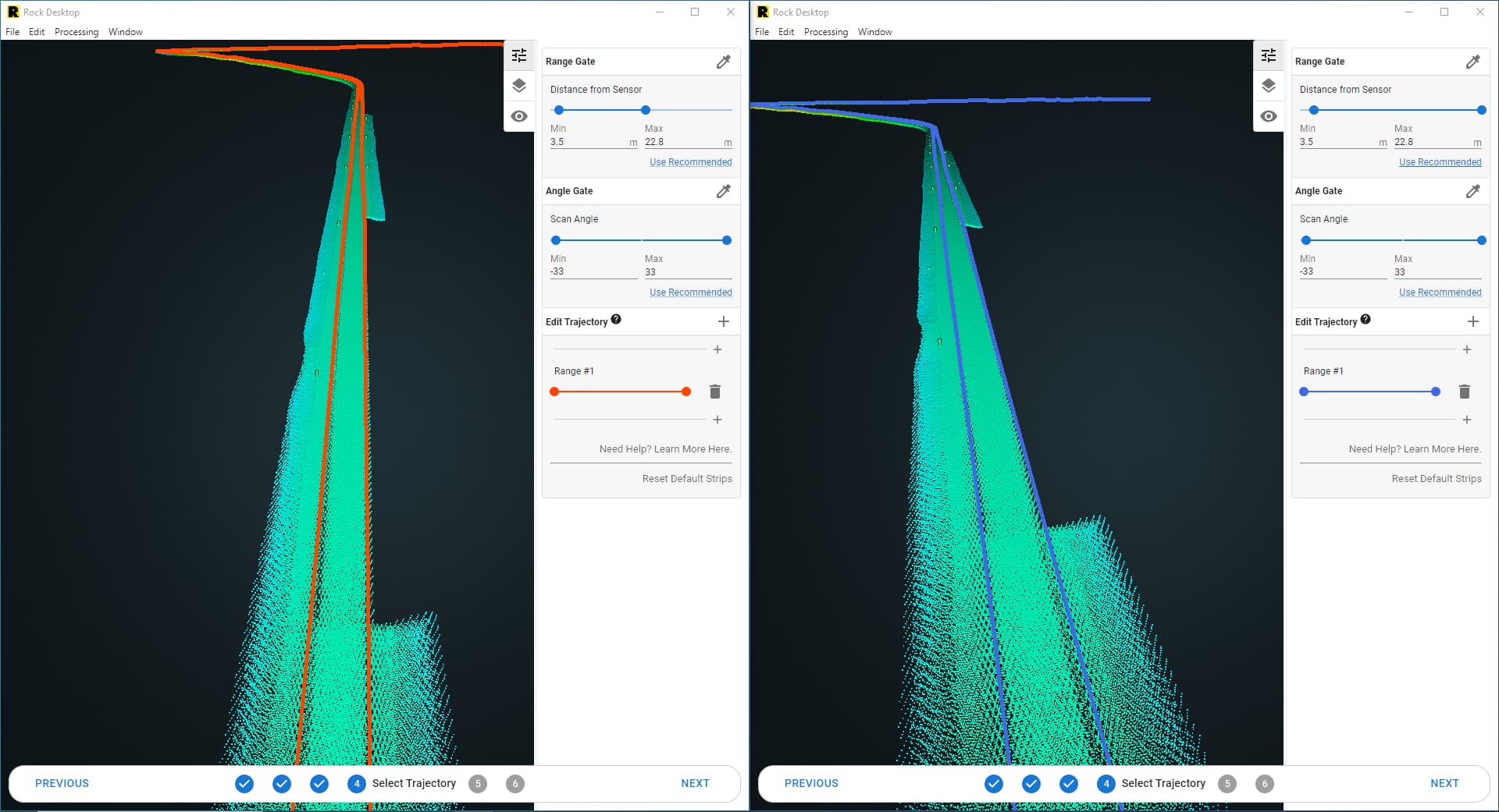
Set distance filter to 0 and reprocess. It could just be on the edge of the distance filter.
Looks like a big puddle of water to me.
No gaps that I found, I thought that at one point as well but did not find them.
The distance the scanner was from the ground was 3 meters vertically but it was pointed at a 60 degree angle so distance to ground from the scanner was more like 6 meters. The filter window was set from 2m to 12m.
There were no puddles of water onsite.
So was this ever fixed?
I have a few scans now with missing sections.
We did not solve the issue that produced the gaps. We have also come accross these issue more recently and it seems that if you are using an Emlid RS2 or 3 for base data it helps to filter the rinex for only GPS & GLONASS satellites, i would try that and run Rock desktop over again
I did re-run the data using a different base station.
Same results.
Its almost like a power interruption on the lidar (but the camera never stopped) or ?