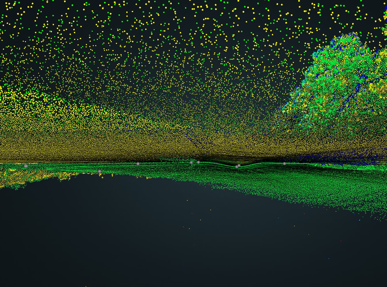
We flew a site last week, and on one small segment there is a large alignment error. Do you have any idea what could have caused this?
I’ve marked the problem area with points in the Rock Cloud.
We flew a site last week, and on one small segment there is a large alignment error. Do you have any idea what could have caused this?
I’ve marked the problem area with points in the Rock Cloud.
This type of error is almost always caused from bad base station data.
Common Base station issues:
How far away was the base station? Using a base station far away from the flight area will cause these deviations.
Are you using a VRS? (Virtual Reference Station) These can produce very poor results for the same reason as a far away base station.
If you have a base station on site, is it collecting all of the constellations at 1 second interval? Was it placed in such a way that gave it complete 180 degree FoV of the sky (no trees or buildings in the way)?
If you have a subscription to the Rock Network you can download RINEX from a nearby station or you can try RINEX from another CORS station nearby.
Other possibilities to cause this problem is incorrect calibration at the beginning or end of the flight. Check this out for correct flight patterns: https://youtu.be/HgqQF0a_TCw