Hi there …
i’m Sandro co founder of a company based in Milan, Italy.
We provide drones services such as 3d mapping and so far we used GCP measured with GNSS Antenna, and photogrammetry … after a lot of experience, we noticed that the Z accuracy calculated between gcp in worse case scenario is often off up to 30cm … i saw a lot of video made by lidar … and the point cloud looks good as photogrammetry but i never saw a video that show how accurate are the point cloud with a gnss antenna that provide accurate 3d position. We are evaluating the possibility to switch to your solution but we can not afford to change technology and mantainig the same issue … our clients accept a maximum an error up to 10cm on Z axis … usually X and Y are good also with photogrammetry .
Do you have a video or something to show us the accuracy of a georeferenced point cloud captured with your R1A system?
In short, the R1A achieves a vertical Z accuracy of 5 cm. This is flown at an AGL of 50m.
Now for the long answer. Your vertical accuracy is a product of your Base station location. (i.e. if you calculate the base station location incorrectly, then the LiDAR data will be offset by this same amount) and your flight AGL Above Ground Level. For best results, we recommend a flight height of 50-60 meters, but you can fly as high as 200 m AGL.
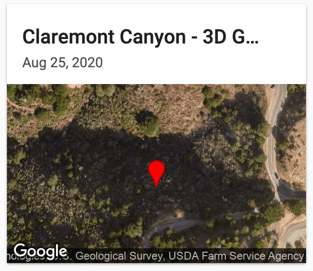
Here is a link to a project with several ground control points. The GCP information was captured with the Emlid Reach RS2 survey kit, and the LiDAR data was captured with the R1A. In this example our RMSE was under 4 cm.
If you are looking to beat a 10cm error in the Z, then the R1A will do that all day every day!