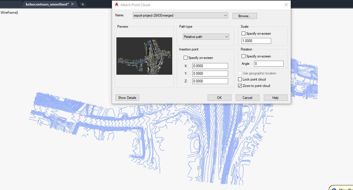
I am no expert in the AutoCAD Software side of things. I have a client looking to import a DWG into Revit for planning/design purposes, and I was asked about setting the ‘scale’ for the point cloud and contours. Revit seems to go about georeferenced data import differently than AutoCAD. I’m wondering if anyone can offer me guidance when it comes to ‘attaching’ a point cloud to an AutoCAD DWG and setting the proper scale/insertion point? My goal is to get a dwg deliverable together with contours and the point cloud included, both georeferenced. Please see attached! any suggestions are welcome!
Revit can import a LAS directly. AutoCAD LT is probably not what you want to use. Civil 3D is better for going between the two. If you want to get a deliverable in CAD export with an XML from rock or a .SHP or DXF for contour data/point data that you can use to build into a model. Its something that should be made clear to a lot of individuals that there is a lot of different ways to build a surface and you can make major changes with very minor adjustments in each one. Autodesk has a lot of data on the forums for getting started.
I seemed to have answered my own question. there is a way to set the coordinate system in autocad prior to importing any geospatial data to ensure the data comes in correctly. once that is set up, I was able to import the point cloud and ensuring it overlays correctly with other data. I found a lot of info online on several approaches. Revit is also totally separate with how to import geospatial data.
Here were the steps I took:
open revit
create new architectural project
view tab > 3D view > default 3D view
insert > point cloud > import rcs file (converted from las via recap)
insert > import CAD > import contours
*Set the ‘Positioning’ for both the point cloud and contours to ‘auto – center to center’ and the contour import units set to feet (or meters, whatever is applicable) prior to importing.
Adding this info on here in case anyone else gets to this point and needs help!
This is a task for Civil 3d, not Revit or AutoCAD if you’re looking to create contours from the point cloud. Civil 3d will insert the cloud to it’s georeferenced location automatically, without having to adjust scale or orientation. You can then create/extract contours from the cloud by creating a surface from it.
I agree. all about the customer though in this instance. they want to do some specific things with the data in revit so had to figure out a solution for them.