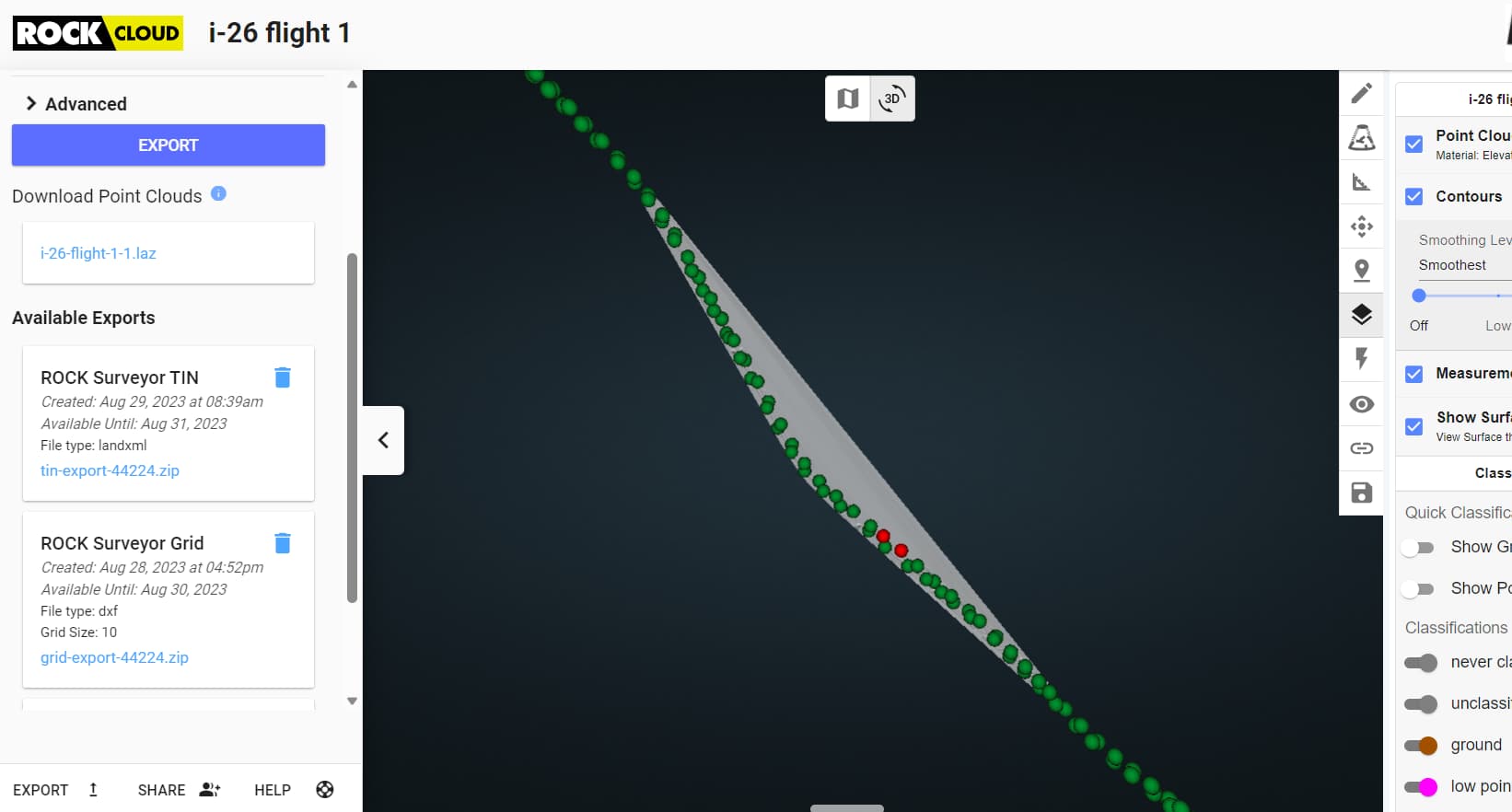
I recently flew a 26 mile portion of an interstate in SC. I am having issues with the grid surface file. The deliverables are adding a ton of non-elevation points to the DXF grid. Does anyone know how to fix this without trimming it in CAD? It is very difficult to find the boundary’s to the legit data with the amount of excess points.
The screen shot doesnt even show all of the excess from the grid DXF file but gives a better idea. The only data scanned is directly over the GCPs.