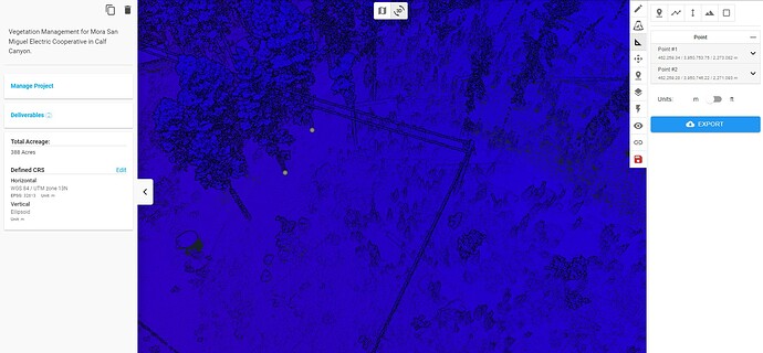
When I export the measurement points to a KML, they don’t show up in Google Earth and it zooms to the North Pole. I’ve tried scrolling to the location of where they should be but the points aren’t showing in the correct place either. Anyone else experiencing this?
The projection of your point cloud is WGS 84 / UTM Zone 13N. Therefore the points in the KML are in that projection.
Google Earth uses WGS 84. These coordinate reference systems are totally different. You would need to convert the coordinates in the KML to WGS 84 to display on google earth.
How did you export .laz into .kml?
Thanks!
