Hey guys,
I’m new to using this system and having some troubles.
I did everything according to the rock academy, but come up with colorized point clouds that are totally off.
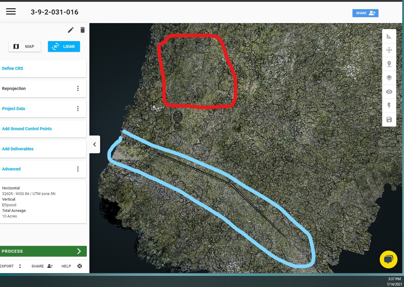
In the attached screen shot, I have my project showing where a road and house is suppose to be. Obviously something went wrong.
How do I fix this?
Thank you
It looks like an orientation issue to me. How did the non colorized point cloud turn out? Something could have happened during your flight to trip up the pre processing software and throw your orientation off.
Was there anything notable about that flight ie high winds, drastic movements, or exceeding the recommended horizontal speed after your final high velocity calibration?
You can change the orientation values in PCMaster/Painter to see if your point cloud snaps into place. I usually adjust by 90 degree increments as a starting place.
The pre processing software does a really good job of determining the proper orientation most of the time, however it can be tripped up and confused by certain types of movement and/or changing the orientation of the R2A.
Last question. How long did you wait for static alignment pre and post flight? I like to give 30 seconds of static after I hit start and 30 before I hit stop.
The non colorized point cloud turned out great
Winds were good, I also flew at recommended hight and speed
I haven’t tried adjusting with pcpainter yet, but I hear that’s the software to use for changing the camera settings and what not
Sometimes the drone jerks when approaching a way point? That could be a sudden change in movement and orientation
I wait for at least a minute before and after start and stop of scanner
I’ve tried processing with other jobs I’ve done, all the same result. I’m thinking it might be due to those jerks at each waypoint during the flight
Also, I noticed some photos are taken in portrait and some are taken in landscape. How do I make sure all the photos are taken in landscape? Is there a way to get into the actual Sony camera settings?
The raw photos, coming off the folder after PC master process, don’t seem to be geomagnetic. I know they are geotagged because I see that in PC painter, but I gave the raw photos to my drafter to see if he can stitch them together (this is because the colorized point cloud isn’t working) and he can see their geotag.