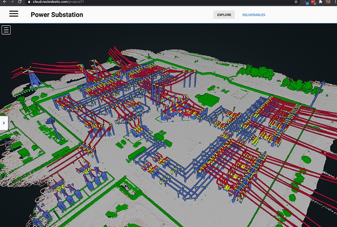
Often times the raw LiDAR data is not enough to deliver your final product for your clients. On the power substation, this was the case. In order to make the best use of the LiDAR data, the conductors, insulators, and structures needed to be classified for the end client to then build a CAD model from.
Now live on the ROCK robotic cloud is classification for Power Lines
How to see it for yourself?
-
Navigate to the ROCK cloud --> Cloud Login
-
If you are new, then create an account
-
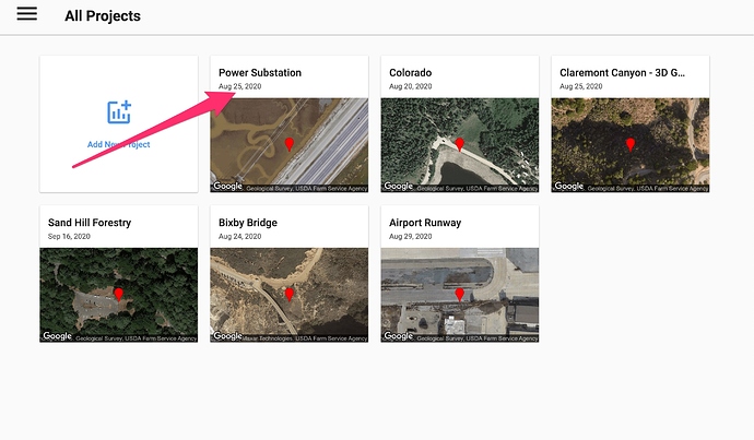
Click on the Power Substation project
-
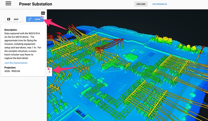
Now Click the LiDAR button, then minimize the side bar to reveal additional point cloud options
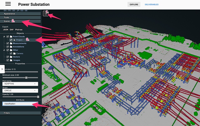
- Expand the point cloud options by clicking on the hamburger menu. Next expand the **Scene ** tab, then click the point cloud called Project Then this will reveal the attributes. Expand the attributes and select Classification
There you go! What do you think? Pretty cool?
We are working to integrate all this functionality into a seamless experience, but give us time and check back often as we are rolling out new updates daily!


