This flight was completed with the ROCK R1A unmanned LiDAR unit along with the EMLID Reach RS2 survey kit and aerial targets for 3D ground control points. The dataset is in the WGS84/UTM10N projection.
Data
https://cloud.rockrobotic.com/project/12
LiDAR
Rock Robotic R1A
Drone
DJI M-210
Location
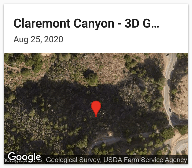
Mountains North East of Oakland, California
Why is this project interesting
This project shows the accuracy of the R1A in a hilly and forested location and using ground control points.