We’re just joining the Rock group here and while we have a fair amount of experience with lidar scanning we have mostly used systems in the past that didn’t require data logging from our local base station. My understanding is if trying to obtain an OPUS solution for an unknown point we need to log data for 2+ hours. Do we still need a 2 hour log if I am setting up on a known control point or what time is a good rule of thumb there? Most of our flights will occur over a know control point network.
Also is anyone using an M200 still and what flight software are you using? We’re leaning towards UCGS but I haven’t seen if it plays well with our current airframe.
Hey! So first off, if your not going to use the base station to compute an opus solution then the only requirement is that the base station is logging before the r2a then the base station is running after the r2a.
You can set up over the known point, then start logging. Immediately fly with the r2a. Land, shut down the r2a. Pack up then stop logging on the emlid. As king as the base station was logging before and after, then you are good.
Now, I still let it log for a few minutes before I turn on the r2a then let it run a few minutes after, but that’s just old habits from previous generation LiDAR systems. But I still feel more comfortable
Mission planning software for M200. I still like map pilot pro
First step is to create and record your base points. Once the gps is logging, set up and go fly.
Last step is to put all your RPAS gear away and THEN terminate your recording.
So a Known Point that we have traversed through and have coordinates on set my RS2 up on that and record the data. Do I key in the lat and long from our coordinates when it ask for the base position input then?
And do I still put the .22O file in the data folder?
You and I go out to survey some land. We know our base point coordinates because we have established this already through survey.
When you are at the office, you will enter the lat/long of the KNOWN point, that we calc’d, NOT the point the gnss spits out. This is how the delta is established and how it knows what the error is.
Yes, keep all your files like normal. The software will sort this shit out.
Please correct me if I’m wrong, but you don’t NEED to have your base on a known point. If you need your point cloud in the correct location, then you’ll need to set up targets/GCPs and shift your point cloud to match them. It’s very helpful if your base is on a known coordinate that’s in the same system as your GCP coordinates, but it’s not absolutely necessary.
We’ve used static data from third parties before for PPK, and then shifted our point cloud to our targets/check shots and had great results.
Correct, base location does not need to be known if you have GCPs with known coordinates, but it is nice for repeat surveys etc. Also if you are going to be shifting your GCP locations relative to the base location (for Base-Rover RTK survey without cell service for NTRIP) you will want to know your base location.
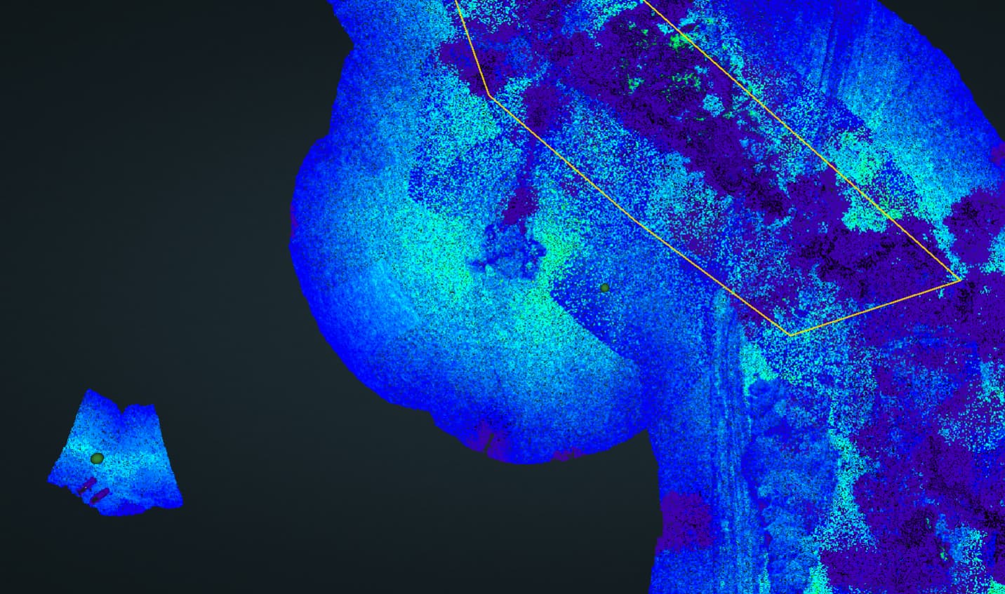
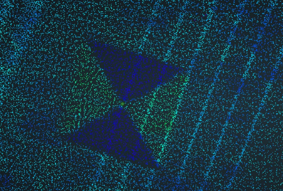
I would always recommend manually flying a slow low pass (~30m AGL) above at least one of your GCPs to make it really clear in the point cloud so you can align to it. I usually set one close to my takeoff point even if its not in my survey area to tie to.
Harrison older article but is close to a question that I was about to ask. Customer wants some transmission line corridors looked at. Only require relative accuracy and there won’t be any GCP’s put out by them, thus won’t be any known points. The area to cover is spotty and not the entire corridor so my first concern was if I have to wait 2 + hours for the base to run before I can move it is going to take a while. But from reading your comments here it appears that I may be able to just setup do my survey and move. is this an accurate statement?
Something else that I had considered to increase efficiency and time. If I had my base setup to receive corrections via NTRIP does that relieve the 2 + hour timeframe any? Meaning if I power up the Emlid Base and it receives its position via NTRIP would it necessarily have to run for two hours?
How long is the corridor? I’d recommend having some sort of point (check, control) you can use at the end of each flight section if possible (and visibly marked), helps with aligning the data in my experience. If you use NTRIP to get a known control point to setup over then you only need to setup and do your flight then break down - I like to setup the base first and get observations going and then when everything is done flying I go collect my markers and then shut down the base station to get a little extra time. If you don’t have know control you need to get a longer term base observation. I try and do 4 hours by the way…
Harrison and Daniel might have different opinions on some of these methods also… I’d go with what they recommend but that’s what I use on my power corridor flights to limit any potential second trips to correct for my mistakes in setup or alignment. Also make sure you ALWAYS field check the trajectory file, I had a powerline flight where 5 of the flights went perfect and the last one for some reason had a weird doughnut shaped trajectory and the points would have been way off. We were so tired we almost didn’t check it and then would have had to drive 18 hours round trip back to the site to fix our mistake.
Final word of advise to everyone, No 2. copper (or really small diameter distribution line) is very hard to pick up even at lower and slower elevations. If you’re flying distribution line I would make it clear to your clients that that if they have a lot of older line it may be difficult to pick up.
thanks for the reply SamEAS, issue is we aren’t going to be flying the entire corridor. So we won’t really be creating a contiguous lidar collection. It is a special project whereas we would be collecting pieces of the corridor, so won’t have to align it. I like you generally have everything setup and leave the base recording and then use OPUS solution to get accurate position. However with the areas being here and there I know that I will have to move the base a lot and the areas of collection aren’t that large in places. which is why i am trying to figure out a way around the two hour or longer collection period.
I know that as long as I am within about 9 km of the base station I should be good to go but past that will have to reposition it.
If you don’t need any GCP’s or a known point, you can fly it as normal and use the pre-filled X/Y/Z in PCmaster. It won’t be precise but it should be generally close and the actual data will be true to itself. You could still measure, etc. It just might be shifted a few feet or so from the real world. Doesn’t seem to have too big of an impact on this project.
Defintely make sure your base is close enough, but if you just need relative positioning, you can proceed this way. Just make them all separate point clouds since they’re separate segments
Interesting project. I would treat it like Daniel said and then you can use the autofill from the software and then don’t need to do a full static observation just the time before, during, and after flight!