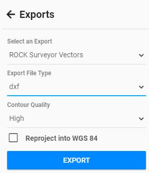
What’s everyone’s process of bringing contours into Civil 3D? What files are you exporting to do this?
Here’s how I do it! ROCK Surveyor in CAD and GIS! #shorts - YouTube
1 Like
Another easy way is to “export” a DXF on the Rock Cloud and then open or import into your CAD software.

Also, if you import the contour.shp file into QGIS you can use a filter in the attribute table to select either the “major” or “minor” contours, then export each as a DXF. That way you can place the contours on separate layers.