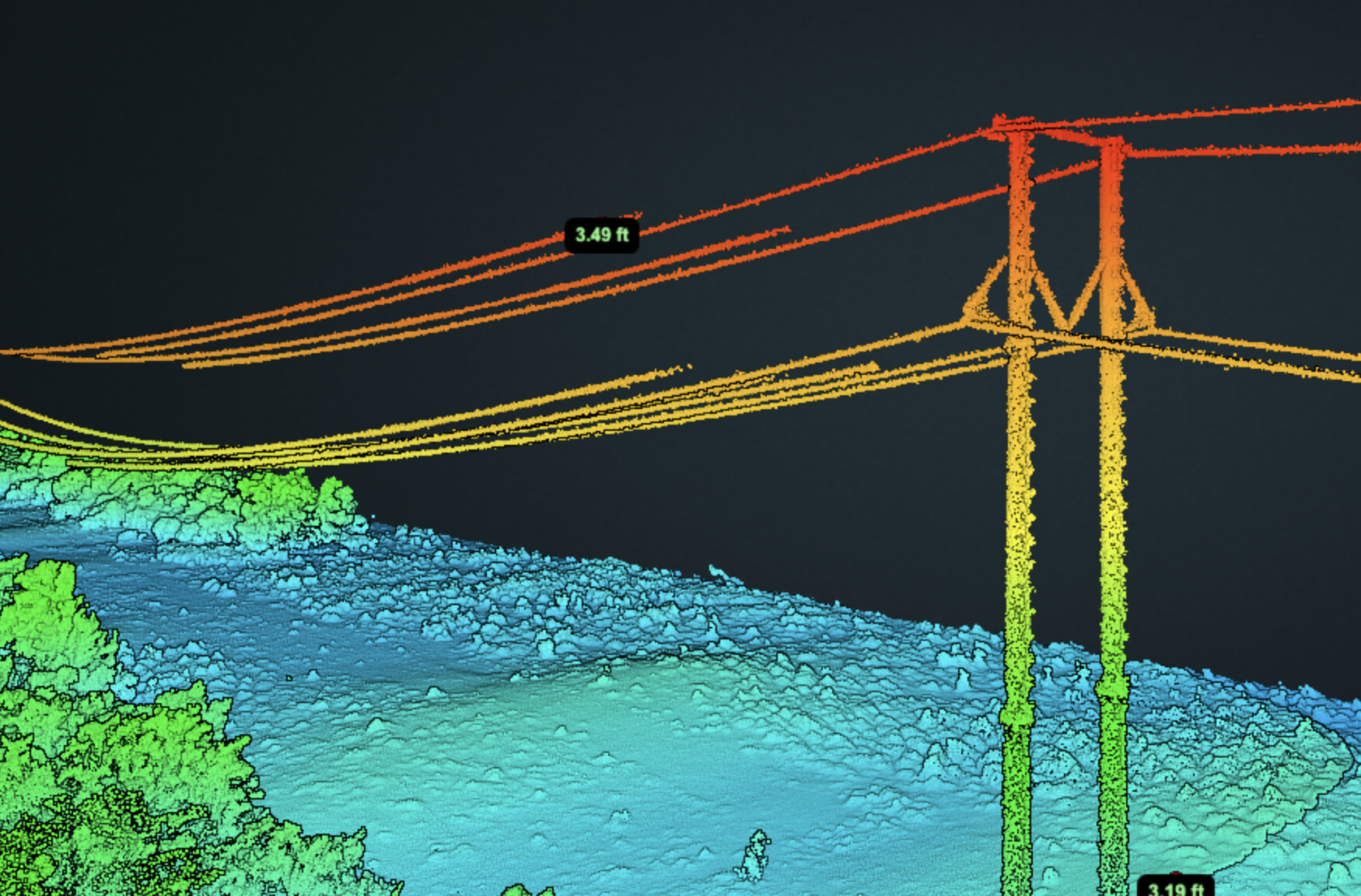
We did a test flight today of a 4 mile transmission line. The data looks great but since we had to move the RTK base station 5 times, the elevations are off in the separate .laz files (some sections 3ft, some sections 10ft). I suppose the question is how do we manually adjust the “z” value in specific .laz’s or is this not possible? PS: We uploaded 5 separate .laz’s to the Rock uploader and allowed everything to process. Thanks
Upload to individual projects (you can copy a project and is copies everything except the project data)
Add all projects to folder view
View in Compare mode
Align all of them to 1 and save
Merge all of them into a new project
Note: the merged project will now have a CRS of your re-projection from the combined projects. So likely it will already be in your state plane coordinate system.