Hello All,
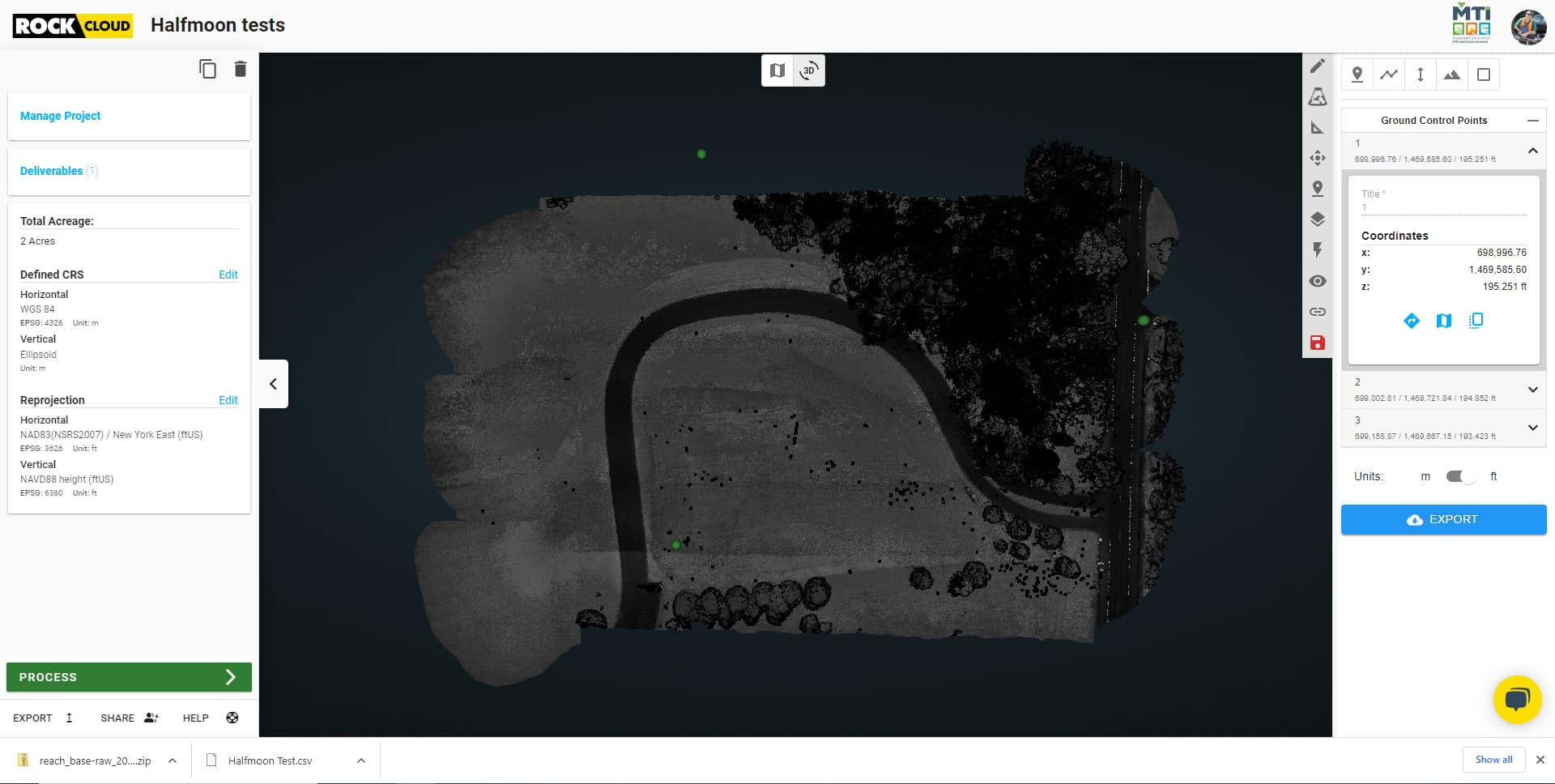
I have successfully added some ground control points to a test scan I completed at a nearby park. However, when I insert the GCPs after letting the scan reproject, the scale looks completely off. I am thinking maybe they are not in the correct datums?
I re-projected the scans from WGS84 / Ellipsoid to NAD83(NSRS2007) / New York East (ftUS) & NAVD88 height (ftUS).
The GCPs were captured in NAD83(NSRS2007) / New York East (ftUS) using the dual Emlid Reach RS2 Base/Rover setup.
See below what the GCPs look like in the Rock Cloud vs. what is captured in the Emlid ReachView App.